Subscribe
EM89mx Guessed from your location

N4LOV callsign lookup

QRZ Photo
US N4LOV ON AIR
E United States
Grid EM63PC
Distance 832 km
Local 10:28 AM
Weather 63°F Clear sky
Azimuthal View from N4LOV

Operator

Carl E Lovelady
Calera AL 35040

Grid Square

EM63PC

Local time at QTH

10:28 AM Saturday (UTC-5)
Rise 11:58z / Set 23:03z

🌕 Moon Phase

Full Moon 97% ↑ 04:56 / ↓ 17:45 (local)

Distance from You

832 km (517 mi)
Bearing: 204° from EM89mx

Zones

CQ: 4

FRN

0016490815

License Dates

Granted
01/10/2023
Expires
02/05/2033

QSL Info

, EQSL, LOTW,QRZ, Direct or Buro

Aliases

KJ4FUE 

Space weather & sky

▼
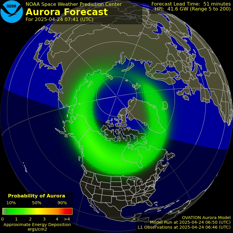
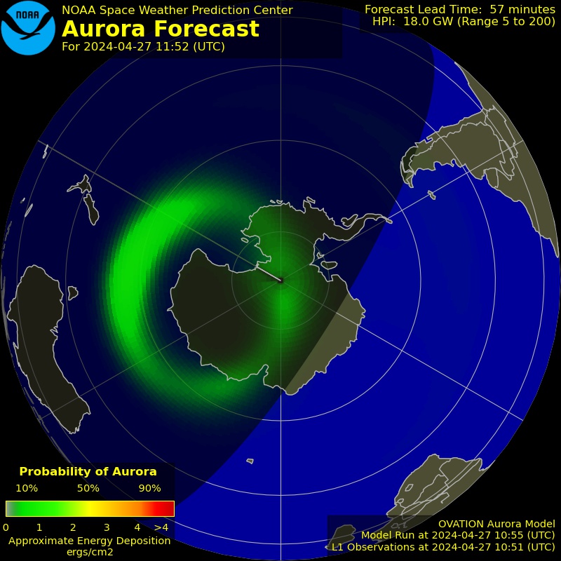
Aurora Forecast (OVATION)
Northern Aurora Forecast
Northern Hemisphere
Southern Aurora Forecast
Southern Hemisphere

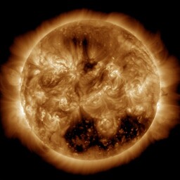
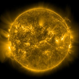
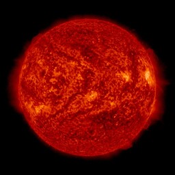
Solar Disc (NASA SDO, Live)
SDO AIA 193
193Å Corona
SDO AIA 171
171Å Loops
SDO AIA 304
304Å Chromo
HMI Intensitygram
Intensitygram
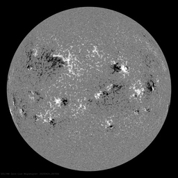
HMI Magnetogram
Magnetogram
Imagery: NOAA SWPC & NASA SDO
▶ How to read this
Why do I care about aurora?
Aurora = geomagnetic storm. Great for VHF scatter and 6m openings, but it trashes HF propagation. High Kp (5+) means skip is disrupted, especially on 20m and above.
What are these sun pictures?
NASA's Solar Dynamics Observatory captures the sun in different wavelengths. Bright spots = active regions that boost ionization and improve HF propagation. Dark spots on the magnetogram show sunspots.
What's the Kp index?
Measures geomagnetic disturbance on a 0-9 scale. 0-2 = quiet (good HF). 3-4 = unsettled. 5+ = storm (HF disrupted, VHF enhanced).
SDO Full Resolution

PSKReporter activity

▼

Ham satellites

▼
Loading satellite positions...
▶ How to read this
What are these satellites?
Amateur radio satellites with transponders you can actually talk through using a handheld or small yagi. The ISS even has a repeater onboard.
What does "above horizon" mean?
If a satellite's elevation is above 0° from the station's location, it's potentially workable. Higher elevation = stronger signal. Passes last about 10-15 minutes.
What are the ground tracks?
The dotted lines on the map show where each satellite will travel over the next 90 minutes. Positions update in real-time so you can watch them move.

Weather near Calera

°F °C
▼
Clear sky
63°F (17°C)
Clear sky
Humidity: 64%
Wind: 7 mph NE
Pressure: 1029 hPa
Visibility: 6.2 mi
Sun
Clear sky
73° 45°
Clear sky
Mon
Broken clouds
72° 46°
Broken clouds
Tue
Few clouds
74° 50°
Few clouds
Wed
Scattered clouds
74° 52°
Scattered clouds
Thu
Clear sky
66° 55°
Clear sky

Recent Searches